RPA Land Parcels.
January 2021
The Rural Payments Agency (England) provide a very usefull tool for english farmers to access the information for land registered to their farm business. All you need to access your data is your business SBI number. The information include field numbers, areas and GPS coordinates and is available in a range for formats to suite your mapping application software. For use with FarmIT 3000 and Google maps we are looking to download the data in a KMZ file format.
environment.data.gov.uk/rpa
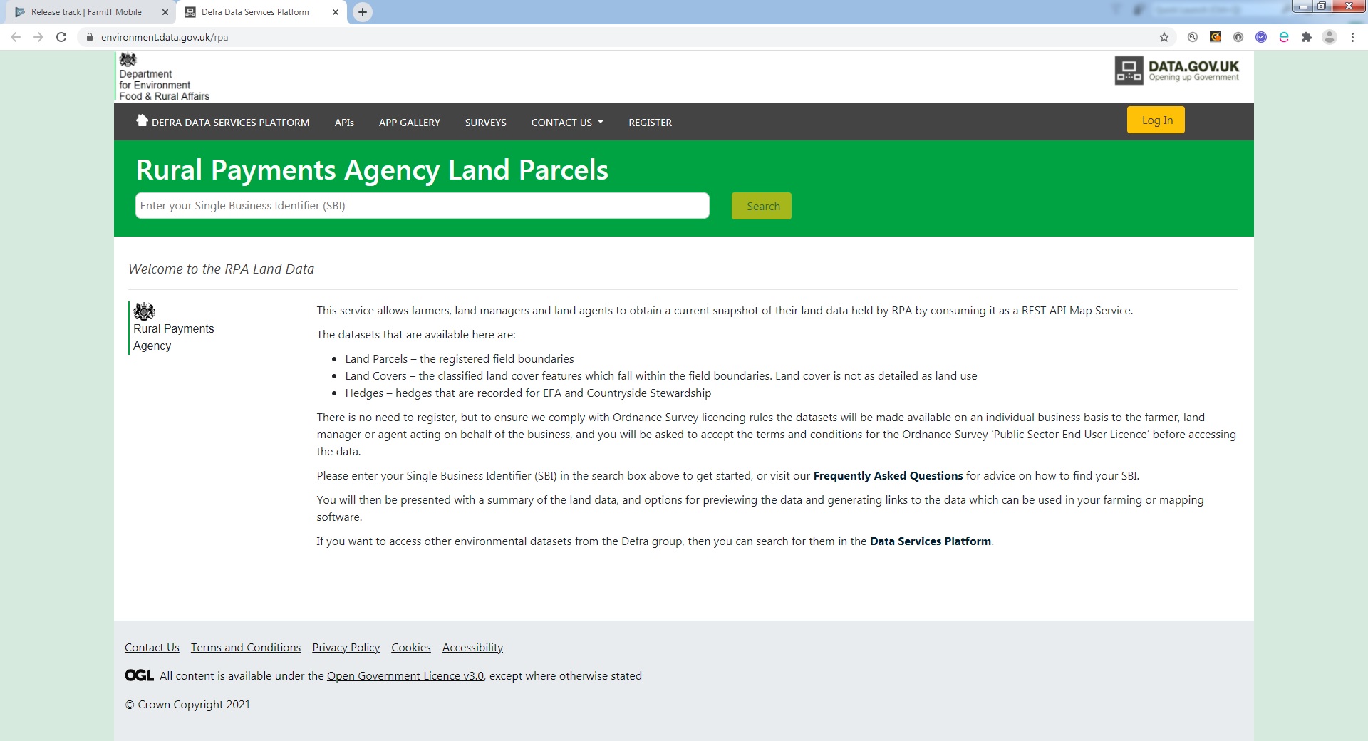
Enter your SBI Number and click the 'Search' Button. You will be prompted to accept the licensing agreemnt, which you must do in order to access the information, so accept it!
Your land parcel information will them be displayed and you may proceed to downloading your field information.
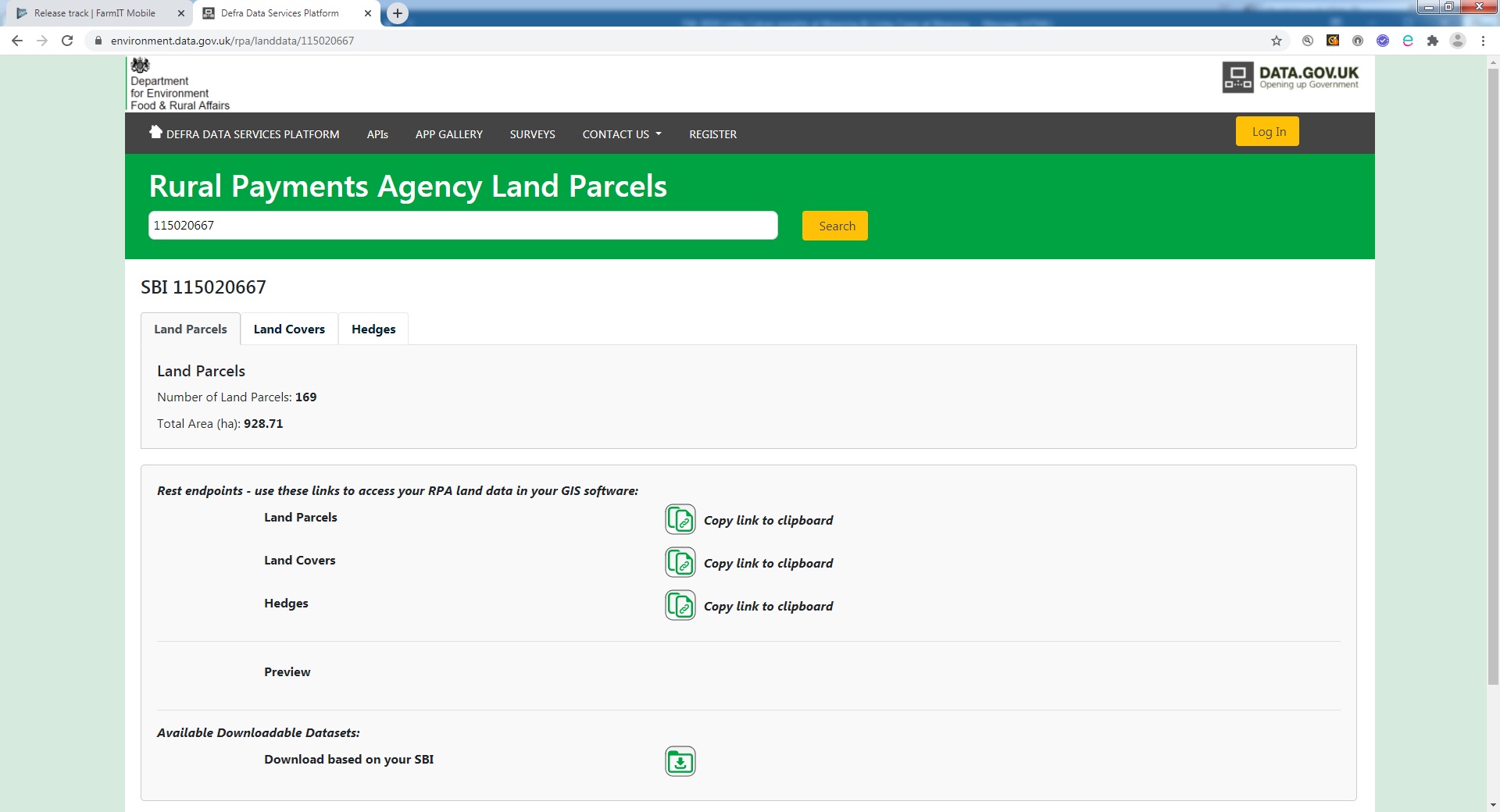
Dowloading You Information
Click the 'Download' button to go to the download page...
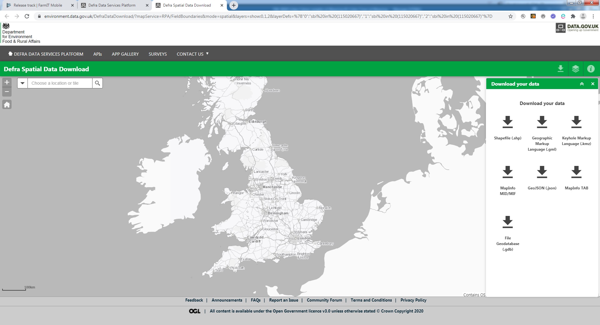
On the right hand side you can see the download options, Click the 'Keyhole Markup Language (.kmz).
The site will process your request and after a few seconds display your farm map on the left and a download button on the right. Click the download button and the file data will download (Displayed in Google bottom left - circled in RED)
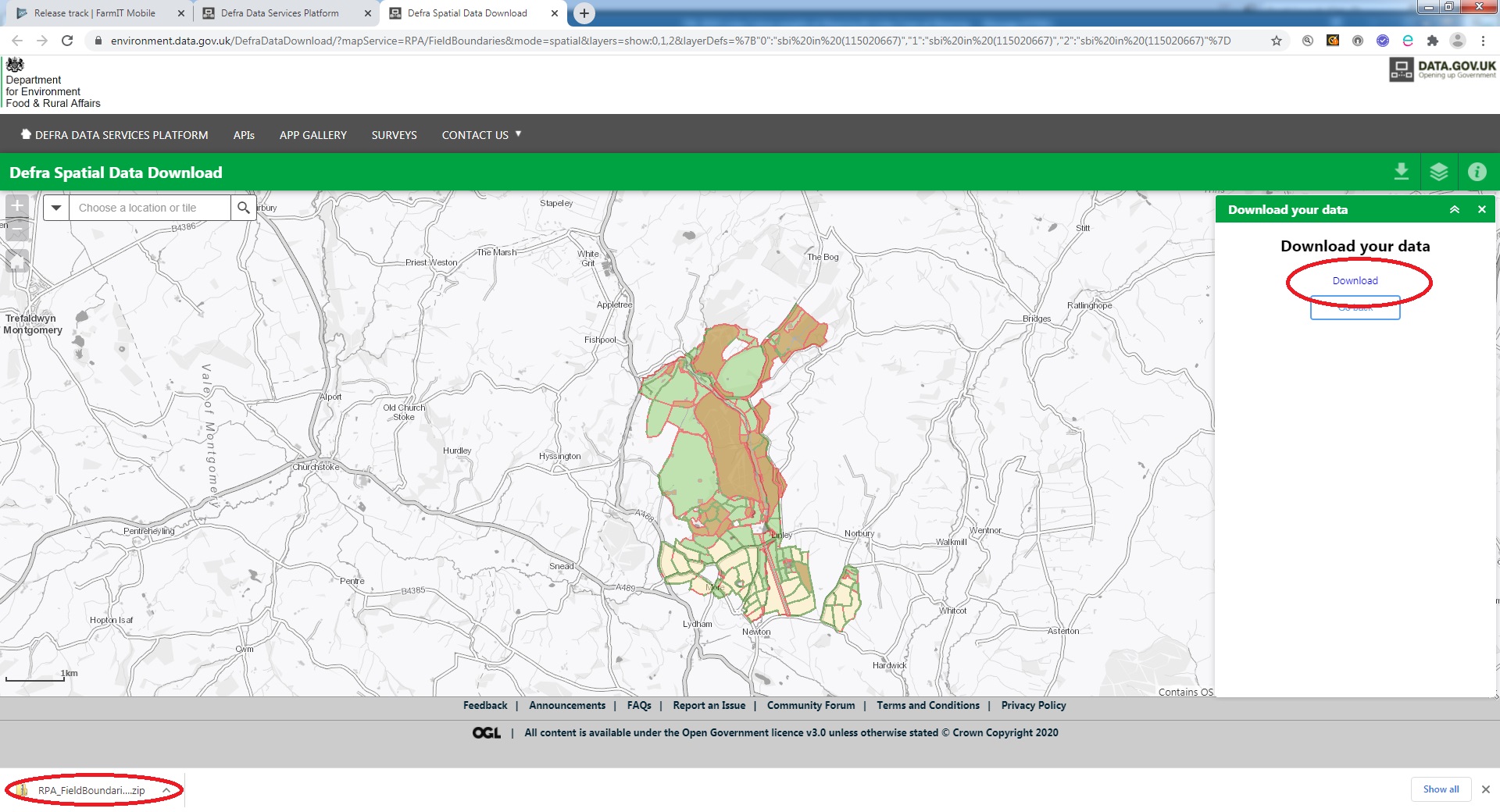
The file will be downloaded to your downloads folder, which you may access by clicking the down arrow next to your fllename on the file bottom left.

KML and KMZ data files
A KML (Keyhole Markup Language) file is a file containing mapping information including GPS coordinate in Latitude and Longitude form. It is the default data format used in Google Maps. A KMZ file is a compressed file containing multiple KML Files, just like a windows ZIP file. When you download the data, it will arrive in a standard ZIP file. If you extract the zip file you will find multiple KMZ files
HedgeControl.kmz
LandCovers.kmz
LandParcels.kmz
The field information is in the LandParcels.kmz file. But we need to extract this KMZ file to get to the actual KML file.
Importing Fields and GPS coordinates
FarmIT 3000 provides a specific import routine for KML files and a simple conversion routine to rename your KMZ file to ZIP file so you can extract the KML files on a windows PC.
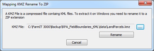
Rename the .KMZ file to .ZIP
Within FarmIT 3000 and aviable on the file / Imports / Maps / Rename KMZ to ZIP for extract. simply browse for the .KMZ file and the software will copy it to a .zip file for windows to then extract.
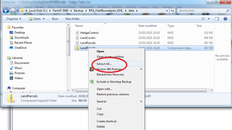
Use the windows EXTRACT function to unzip the file to individual KML files
Open Windows Explorer and browse your PC to find your .ZIP file. Click on it once to select the file, then right click it to view the popup menu. Select Extract to extract the zip file.
This will extract the data to a LandParcel folder containing the data files. The doc.kml file contains the actual field data.
Import the Field and GPS data using the Import routine
The import field mapping data routine allows you to import the field data, then select and create the field records within FarmIT. Use the select file button circled in red to select your doc.kml file. The file data will be extracted and the fields listed. Then either click the select all button or click the fields you want to import.
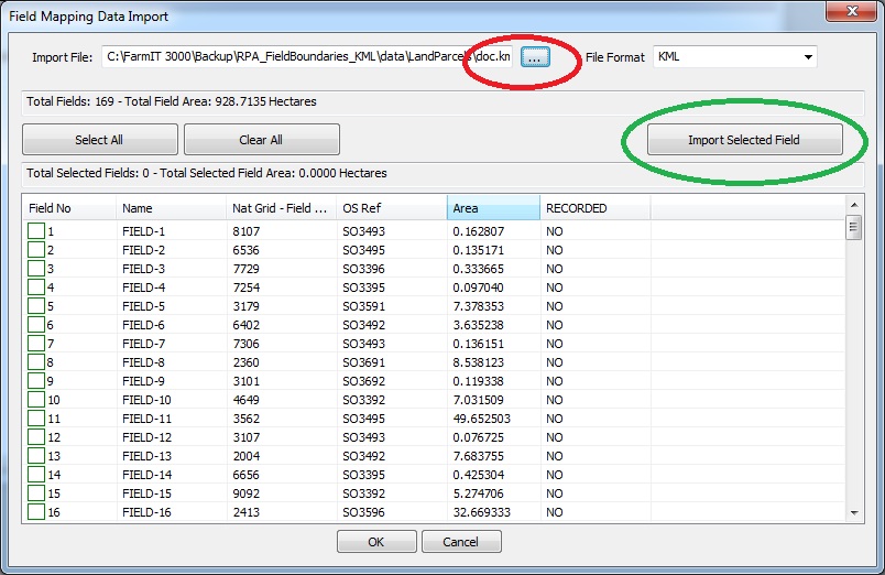
The field records are created including GPS data. If a field already exists then the field GPS data will be updated. The GPS data can then be used to create a Google map without the need to psyically draw the field. So you can download your land parcels, create your field records and generate your farm map without any of the hassle of typing in your fields and drwaing your field boundries.
England, Wales and Scotland
Unfortunately due to devolved government, things are not so easy in Wales and Scotland, as there is no website to go to!, lets hope they rectify this in the near future.