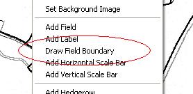
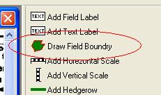
First open the map in edit mode. We recommend you then zoom in onto the field you wish to draw. Then select either 'Draw Field Boundry' from the edit popup menu or from the toolbox.
This will change the mouse cursor to a cross. Select a convenient point on the field boundry, for example a corner and then click round the field boundry. The boundry will by default be drawn initially in red, you change this later or set the defaults from the edit menu.
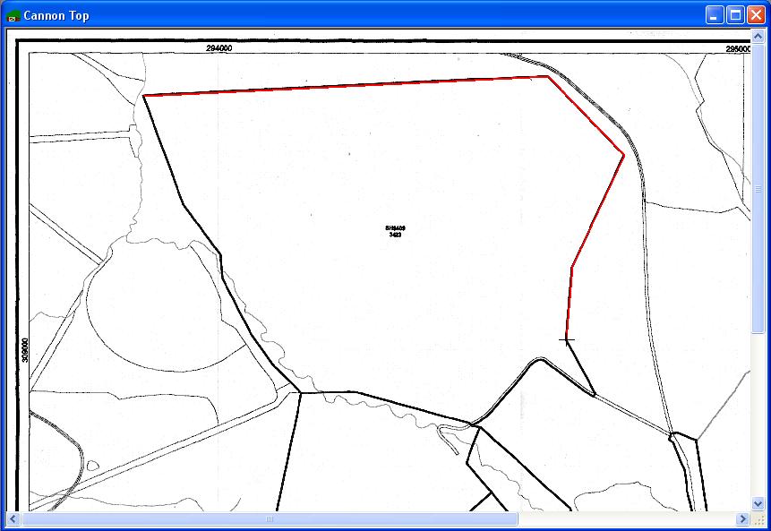
To finish the field boundry double click on the last point. The boundry will then be closed up to the starting point.
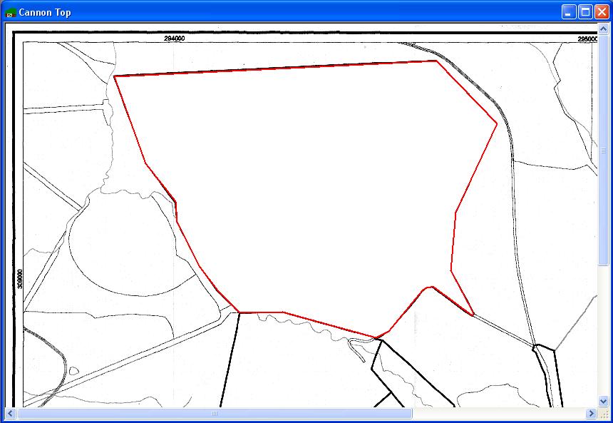
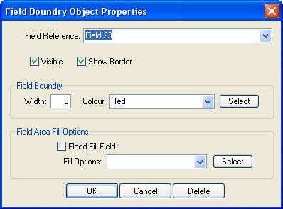
Now double click within the boundry to open the field boundry properties and link the boundry to the field record by selecting the field from the drop down list of fields. (Note you must have an existing field record for the field.) You may also change the width of the boundry and its colour.