FarmIT 3000 - Creating a new map
Farm IT Help - Creating a new map
Google or Custom Image Map
You may create a Google Map or a Custom Image Map. A new google map will be centered on your business post code, a custom map based on a background image file.
New Google Map
Create a google map if you are working with GPS data, its much easier to work with and what we recommend. Selecting the New Google Map will display an initials options for the map...
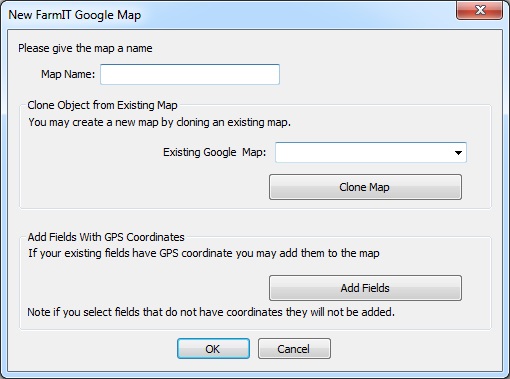
First given the map a name!, you may then initialise the map by adding fields with GPS data or cloning an existing map. A new google map will be created and opened
in FarmIT 3000 in edit mode. If you are not cloning a map, initially the map wiill be centered on the farm business postcode (see Farm Details) you may set the map center using a google marker. Simply select the marker edit option then click on the map where you want the center of the map to actually be.
Creating a new custom map
First of all you need to identify your background image, and know where it
is on
your computer. The Image must be in the Windows Bitmap format (*.bmp). If you have trouble with this then Border Software are more than happy to scan your maps for
you and supply the maps in the correct format and already created. .
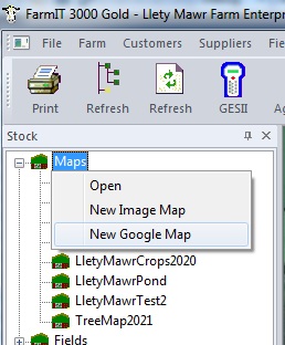
To create a new map click on the 'Map' section of the tree view with your right mouse button. This
will display the Map menu, select the 'New' option.
New Image Map
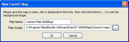
This will display the new map window.
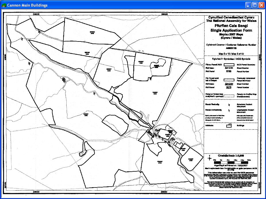
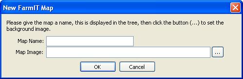 First give the map a name, this is the name
displayed in the tree view so we suggest a short name, representing the farm or
areas of the map. For example - Cannon Farm Buildings. Then use the browse button
to locate your map image. We suggest you put them into the maps folder in the main
FarmIT 3000 folder, but this is just a suggestion!
First give the map a name, this is the name
displayed in the tree view so we suggest a short name, representing the farm or
areas of the map. For example - Cannon Farm Buildings. Then use the browse button
to locate your map image. We suggest you put them into the maps folder in the main
FarmIT 3000 folder, but this is just a suggestion!
The map is then opened .
Please note if the image seems small, you may zoom in and out using the +
and - keys on the right hand side of the keyboard.
The map is now ready for editing, adding field boundries, linking field records
etc.
You will be prompted to save the map details when you close the program.
Map Files
Map data, i.e the field boundries, record links, and other overlay items are stored in map files, externally from the database. The database does however maintain a
link to the map files. Should this link be broken, for example if you move a map
file, or if you rename it, then you will be prompted to browse for the map file.
This also allows us to setup a map file for you, which you may then open. Map files
are given the name of the map for example,
"Cannon Main Building.map"